LiDAR Technology: Enhancing Autonomous Vehicle Navigation
PHOTO BY TARYN ELLIOTT ON PEXELS
LiDAR technology has transformed how industries approach mapping and surveying. It uses laser light to measure distances and create precise, three-dimensional representations of the environment.
This advanced tool is not just a game changer for engineers and architects; it’s also being applied in agriculture, forestry, and even disaster management. Exploring its diverse applications reveals just how impactful LiDAR can be.
Precise Environmental Mapping
LiDAR technology has transformed environmental mapping by providing detailed and accurate topographical data. It uses laser pulses to create precise 3D models of landscapes, helping researchers and planners.
Key benefits include:
- High Accuracy: Delivers centimeter-level precision.
- Rapid Data Collection: Covers large areas quickly.
- Versatility: Useful for forests, urban planning, and coastal areas.
This technology aids in managing natural resources and monitoring changes over time.
Check out this post about LiDAR’s use in understanding forests:
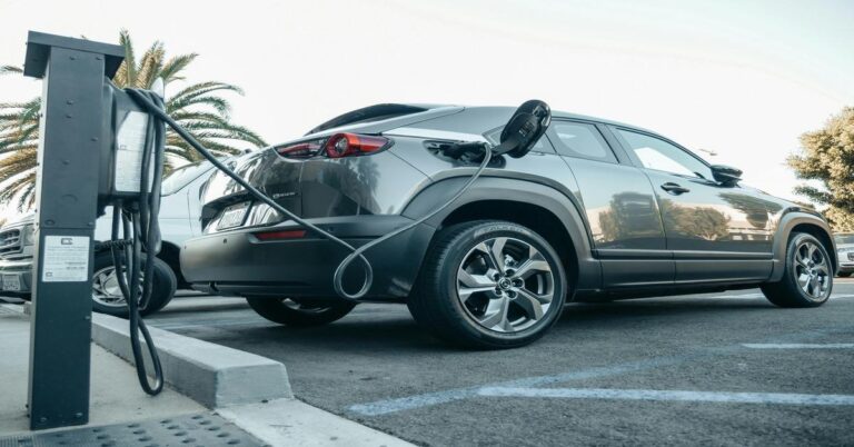
Real-Time Object Detection
Real-time object detection with LiDAR technology is transforming various industries. It enables systems to identify and track objects as they move through space.
LiDAR sensors emit laser pulses, capturing information about distances and reflecting surfaces. This allows for precise 3D mapping.
Applications range from autonomous vehicles to robotics. Industries leverage this technology for improved safety and efficiency.
See this post for the integration of LiDAR tech and a 3D mapping solution:
Reliable Performance in Diverse Conditions
LiDAR technology excels in various environments. It can function effectively in:
- Rain: Modern LiDAR systems can handle precipitation without significant data loss.
- Fog: Many devices have advanced filtering to see through light fog.
- Night: Active LiDAR doesn’t rely on ambient light, making it ideal for nighttime use.
These factors ensure accurate data collection, whether in urban areas or natural settings. The ability to adapt to changing conditions makes LiDAR a valuable tool across different applications.
Watch the video below for an example: